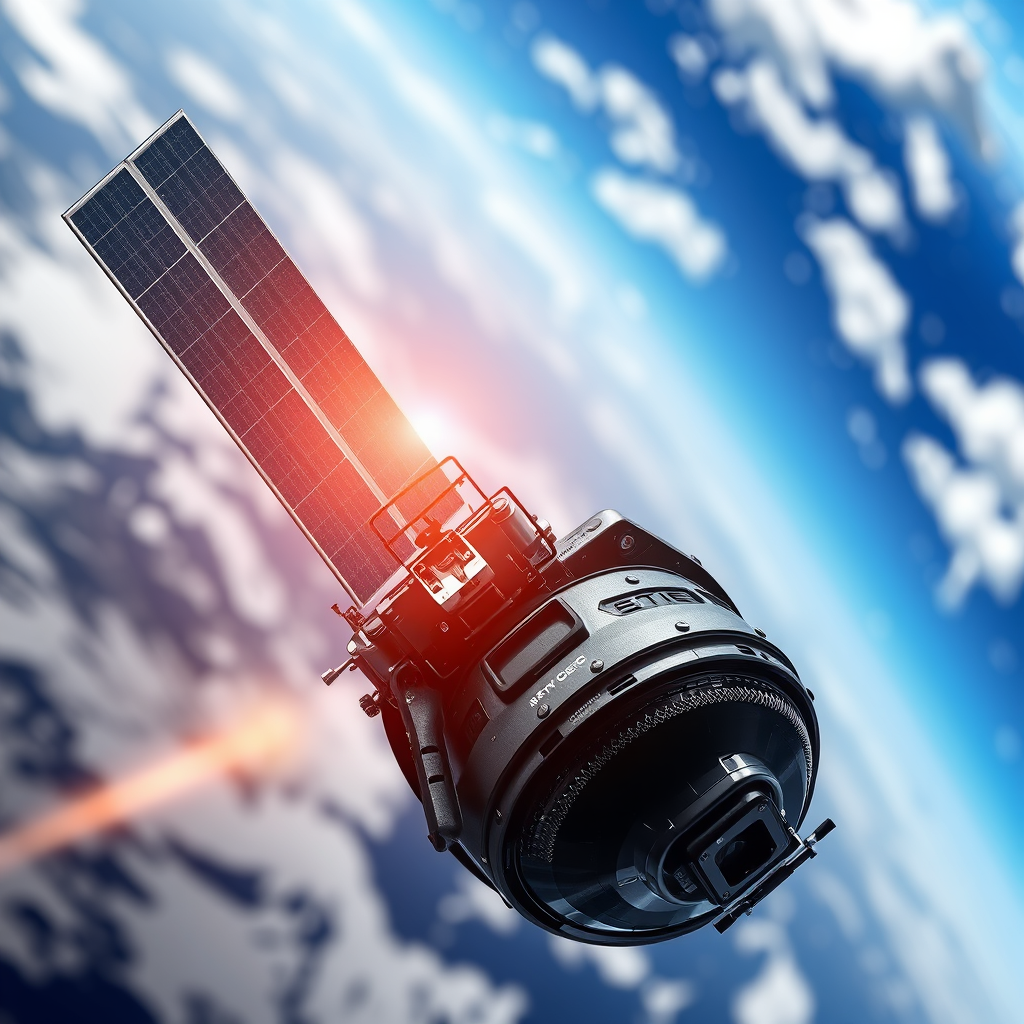
Earth observation satellites are transforming how we monitor and understand our planet, with recent launches significantly enhancing our capabilities in climate change analysis, disaster management, and agricultural monitoring. These advancements allow us to collect more accurate data and respond more effectively to global challenges. In this article, you will discover the latest satellite launches, the technologies behind them, and their impactful implications across various sectors.
Overview of Recent Launches

In the past year, the world has witnessed several remarkable satellite launches aimed at advancing our understanding of Earth. For instance, NASA’s Landsat 9 was launched in September 2021, continuing the legacy of the Landsat program with improved imaging capabilities that allow for high-resolution analysis of land use and environmental changes. The European Space Agency (ESA) also launched the Copernicus Sentinel-6 Michael Freilich satellite in November 2020, designed to monitor sea-level rise with unprecedented precision.
These missions are the result of collaborative efforts among various organizations. NASA, ESA, and commercial entities like SpaceX have played pivotal roles in deploying these satellites. Notably, SpaceX’s Falcon 9 rockets have become a workhorse for satellite launches, showcasing the growing importance of private sector involvement in space exploration and Earth monitoring.
Technological Advancements

The latest generation of earth observation satellites is equipped with cutting-edge technologies that enhance their capabilities. One significant innovation is the use of synthetic aperture radar (SAR), which allows satellites to capture high-resolution images regardless of weather conditions or sunlight. This technology is crucial for monitoring changes in land cover and detecting environmental phenomena such as floods or landslides.
Furthermore, advancements in data transmission technologies have improved the speed and efficiency with which satellite data is relayed back to Earth. High-frequency communications and better onboard processing capabilities enable real-time data sharing, allowing for quicker analysis and decision-making. For example, the WorldView Legion satellites, launched by Maxar Technologies, utilize advanced imaging systems that produce clearer images and can revisit locations more frequently, enhancing monitoring cycles.
Impact on Climate Monitoring
New satellites play a crucial role in enhancing our understanding of climate change. By providing detailed data on various climatic factors, including temperature, greenhouse gas concentrations, and land surface changes, these satellites enable scientists to track environmental trends more accurately. The NASA Atmospheric Infrared Sounder (AIRS), onboard the Aqua satellite, helps monitor atmospheric temperatures and humidity levels, vital for climate modeling.
Moreover, satellites like ESA’s Copernicus Sentinel-5P are specifically designed to monitor air quality and trace gases, offering critical insights into pollution sources and distribution. This data is essential for informing policy decisions aimed at reducing emissions and combating climate change.
Enhancements in Disaster Management
The role of earth observation satellites in disaster management cannot be overstated. These satellites provide critical data that aids in both disaster response and recovery efforts. For example, during the devastating wildfires in Australia in early 2020, satellite imagery from NASA’s MODIS provided real-time data on fire hotspots, helping first responders allocate resources effectively.
Additionally, during the 2021 earthquake in Haiti, satellite data was crucial in assessing damage and coordinating relief efforts. The ability to quickly analyze affected areas and infrastructure allows for a more efficient response and recovery process, ultimately saving lives and resources.
Applications in Agriculture
Farmers and agronomists are increasingly turning to satellite imagery for insights into crop health and agricultural practices. By utilizing data from satellites, they can monitor factors such as soil moisture, vegetation health, and crop yields. This information is invaluable for optimizing resource use and improving productivity.
For instance, in regions like the Midwest of the United States, farmers can use satellite data to precisely track the growth of corn and soybean crops, adjusting irrigation and fertilizer application accordingly. In Africa, initiatives like the European Space Agency’s “GEOGLAM” project leverage satellite data to monitor food security and agricultural production, helping to mitigate the impacts of drought and other climate-related challenges.
International Collaboration
International collaboration is essential in the realm of earth observation satellite missions. Countries and organizations are increasingly partnering to share data and resources, enhancing the collective ability to monitor our planet. The Copernicus program, led by the European Union, exemplifies this collaboration, providing free and open access to satellite data for countries worldwide.
Furthermore, organizations like the Group on Earth Observations (GEO) facilitate cooperation between nations and agencies, promoting the sharing of satellite data to address global challenges such as climate change, natural disasters, and sustainable development. These partnerships are vital for leveraging the full potential of earth observation data.
Future Prospects
Looking ahead, the future of earth observation satellites is promising. With advancements in technology, we can expect even more sophisticated satellites capable of delivering higher-resolution images and real-time data. Upcoming missions, such as NASA’s Earth System Observatory, aim to provide comprehensive insights into the Earth’s systems, enhancing our understanding of climate dynamics.
Additionally, emerging technologies like artificial intelligence and machine learning will play a pivotal role in analyzing satellite data. These innovations will enable more accurate predictions and better-informed decision-making across various sectors, from agriculture to urban planning.
Summarizing the advancements in earth observation satellites reveals their critical role in various sectors, from climate science to agriculture. As these technologies evolve, they promise to enhance our understanding of the planet and improve response strategies to global challenges. Stay informed about future launches and their impacts on our world, as the journey of exploration and understanding continues to unfold.
Frequently Asked Questions
What are the latest Earth observation satellites that have been launched in 2023?
In 2023, several advanced Earth observation satellites have been launched, including NASA’s Landsat 9 and the European Space Agency’s (ESA) Copernicus Sentinel-6 Michael Freilich. These satellites are designed to provide high-resolution images and data on land use, climate change, and environmental monitoring. The advancements in technology allow for more accurate and timely data collection, which is essential for researchers and policymakers.
How do new Earth observation satellites impact environmental monitoring and climate research?
New Earth observation satellites significantly enhance environmental monitoring and climate research by providing up-to-date, high-resolution imagery of the Earth’s surface. They collect vital data on factors such as deforestation, urbanization, and natural disasters, allowing scientists to analyze trends and make informed decisions. This continuous flow of information helps in understanding climate change impacts and developing strategies for mitigation and adaptation.
Why are Earth observation satellites important for disaster management?
Earth observation satellites play a crucial role in disaster management by offering real-time data that can be used to assess damage, monitor natural disasters such as hurricanes, floods, and wildfires, and coordinate emergency response efforts. The ability to quickly analyze satellite imagery helps authorities make informed decisions, allocate resources effectively, and ultimately save lives. The integration of satellite data with other technologies further enhances situational awareness during crises.
Which countries are leading the way in launching new Earth observation satellites?
Countries such as the United States, China, and members of the European Union are at the forefront of launching new Earth observation satellites. The U.S. National Oceanic and Atmospheric Administration (NOAA) and NASA lead various initiatives, while China has made significant investments in its Earth observation capabilities. Additionally, the European Space Agency (ESA) continues to expand its Copernicus program, demonstrating a strong commitment to satellite technology for environmental monitoring.
What are the best resources for tracking new Earth observation satellite launches and their missions?
The best resources for tracking new Earth observation satellite launches and their missions include websites like NASA’s official site, ESA’s Copernicus program, and the National Oceanic and Atmospheric Administration (NOAA) site. Additionally, platforms like Space.com and satellite tracking applications provide real-time updates on launches, mission objectives, and satellite functionalities. Following these resources can help enthusiasts and professionals stay informed about the latest advancements in Earth observation technology.
References
- Earth observation satellite
- https://www.nasa.gov/feature/nasa-launches-new-earth-observation-satellite
- https://www.euronews.com/next/2023/07/10/nasa-launches-new-earth-observation-satellite-to-monitor-wildfires
- https://www.nationalgeographic.com/science/article/nasa-launches-earth-observation-satellite-to-study-climate-change
- https://www.spac.com/nasa-launches-new-earth-observation-satellite
- https://www.noaa.gov/news/press-releases/noaa-launches-new-satellite-to-improve-weather-forecasting
- https://www.sciencedaily.com/releases/2023/09/230914113344.htm
- https://www.reuters.com/technology/nasa-launches-new-satellite-aimed-improving-forecasts-2023-08-12/
- https://www.unoosa.org/oosa/en/ourwork/topics/earth-observation.html